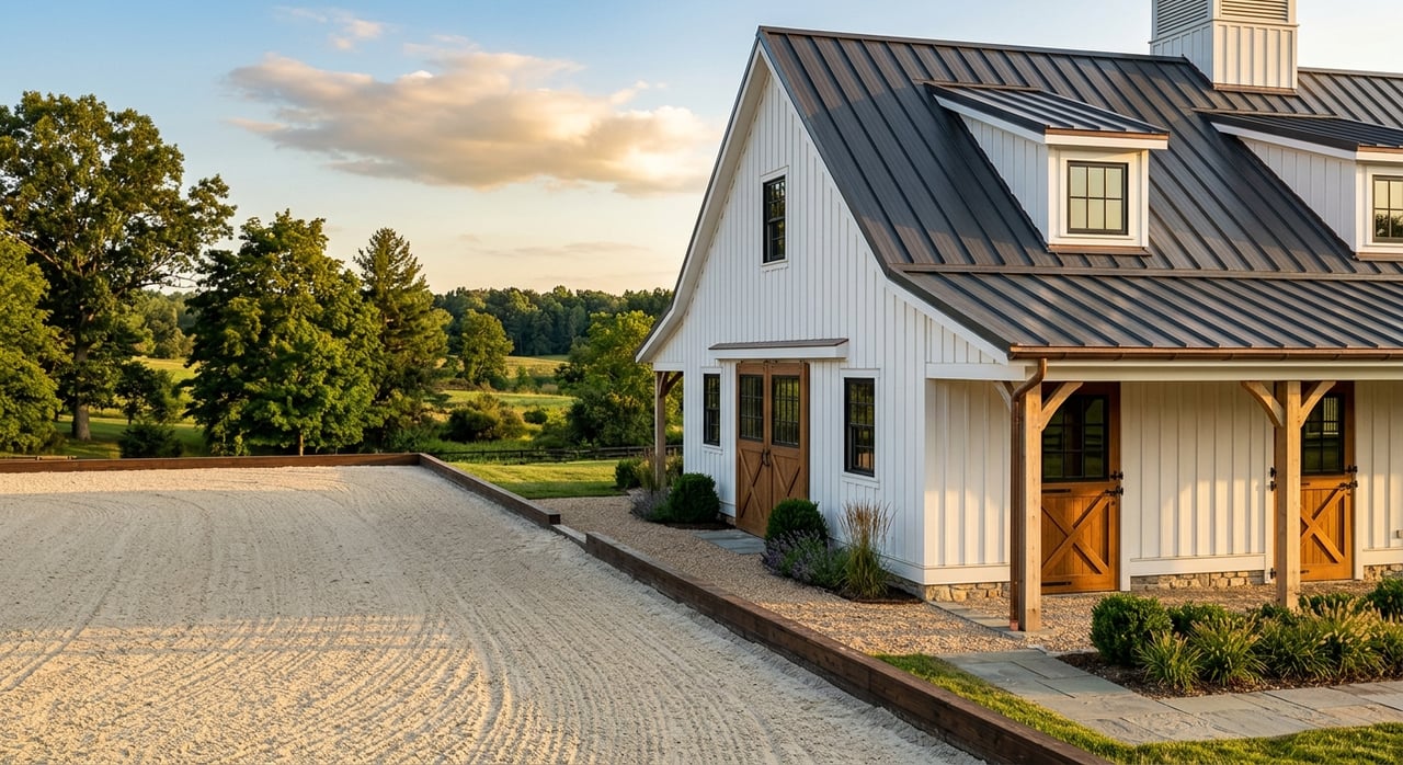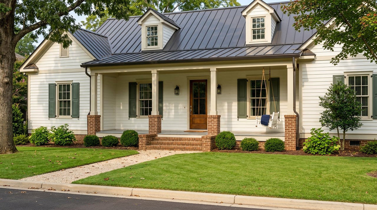
The dream of owning land near Franklin is easy to picture: a long drive, room to breathe, mature trees, and the freedom to build something that fits your life. But with acreage, what looks perfect from the road or a listing photo may be shaped by utilities, access, slope, septic, and long-range planning in ways that are not obvious at first glance. If you are considering land in Franklin, southern Williamson County, or near Leiper’s Fork, this guide will help you evaluate acreage more wisely before you make an offer. Let’s dive in.
Why acreage near Franklin needs a closer look
In the Franklin area, land value is not driven by size alone. The real question is how much of a parcel is actually usable for your goals, whether that means building a home, creating a hobby farm, holding land long term, or preserving a rural lifestyle.
Franklin’s growth approach puts a strong focus on infrastructure and planned service areas. According to Franklin’s approach to growth, some fringe areas are defined by agricultural uses, larger tracts, limited road capacity, and a lack of public sewer, with future growth tied to where water, sewer, and streets are available or planned.
That matters because two parcels with the same acreage can have very different real-world value. One may have easier utility access and a clearer path to development, while another may offer a more rural setting but require more due diligence, cost, and patience.
Start with access and frontage
Before you fall in love with a tract, confirm how you legally get to it. Legal access, road frontage, and driveway feasibility are some of the first filters to apply when evaluating land near Franklin.
A practical starting point is the county’s interactive GIS maps, which help identify zoning districts and basic parcel details. Williamson County regulations also require compliance for road frontage or access easements, utility easements, and properly located driveway entrances and culverts.
If access depends on an easement, you will want to understand exactly where it is, how it is recorded, and whether it supports your intended use. A beautiful back parcel can lose some appeal if access is narrow, constrained, or more complex than expected.
Questions to ask about access
- Does the parcel have public road frontage?
- If not, is there a recorded access easement?
- Is the likely driveway route practical for the topography?
- Could culverts or grading add cost before construction begins?
- Does the access setup fit your long-term plans for home, barn, or outbuildings?
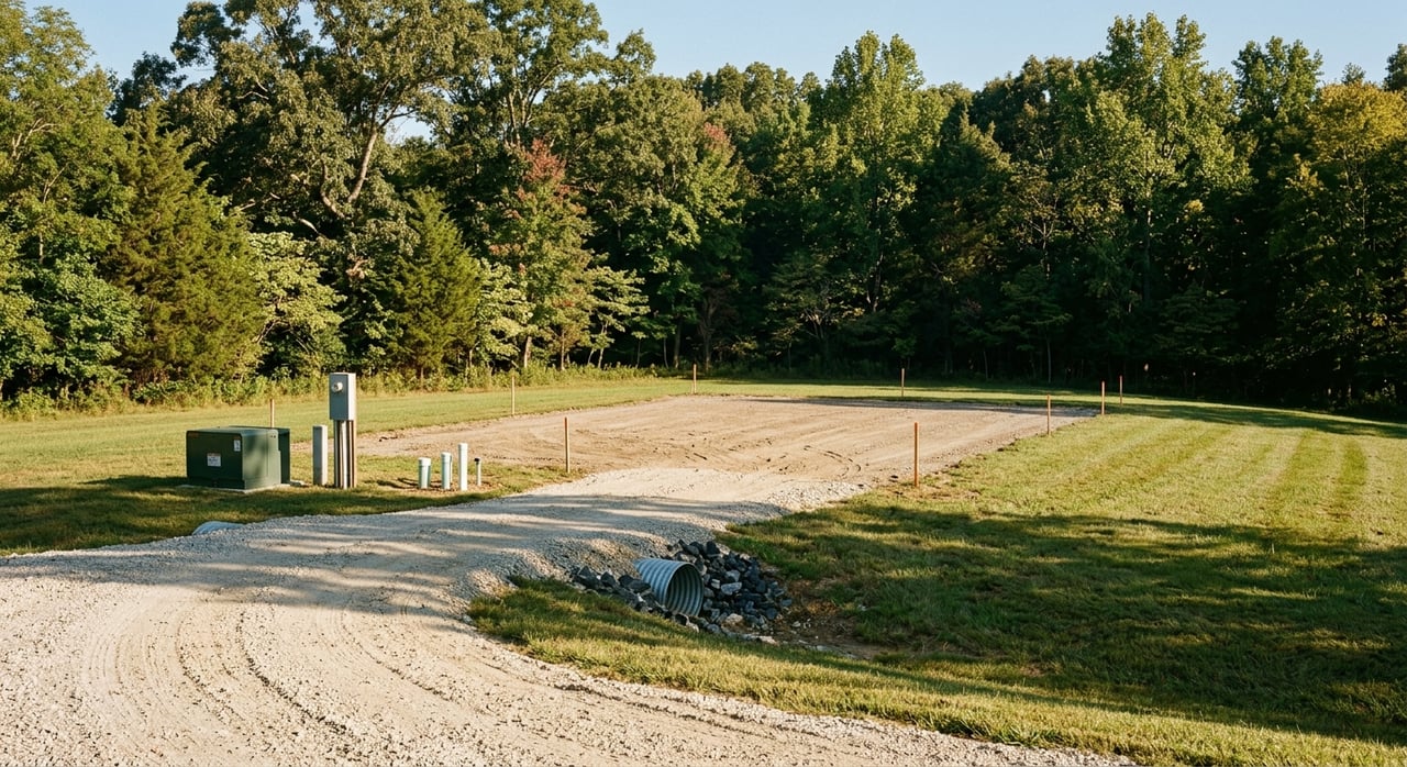
Verify utilities parcel by parcel
One of the most common mistakes buyers make is assuming a Franklin mailing address means city utility service. In reality, utility availability varies by parcel, and service areas can overlap.
The City of Franklin Water Management Department notes that it provides water, wastewater, and reclaimed water services primarily within the city, while H.B. & T.S. Utility District and Mallory Valley Utility District also serve parts of Franklin. The city’s utility overview and service guidance can be found through the Water Management Department, and Mallory Valley specifically advises customers to check service-area maps because boundaries can overlap.
If public water or sewer is available, connection costs may affect the true cost of the land. Franklin’s published utility schedule lists a water impact fee and sewer impact fee effective January 1, 2026, which makes it important to compare purchase price with total build-readiness costs.
Utility questions that shape value
- Is public water available at the parcel, or only nearby?
- Is sewer available, or will the property need septic?
- Which utility district serves the tract?
- What connection or impact fees may apply?
- Are utility easements already in place where they need to be?
Septic and soils can make or break a parcel
For many acreage properties outside utility-served areas, septic feasibility is one of the biggest decision points. A parcel may have the right size and setting, but if soils or site conditions do not support the intended system, your options can narrow quickly.
Tennessee’s Division of Water Resources says a septic permit should be obtained before dirt work or construction of any building pad. The state also requires additional mapping for alternative systems, and certain divisions of land for future construction trigger subdivision evaluation rules for septic review.
Williamson County adds another layer. Under the county’s septic regulations, a parcel must be assessed through approved methods such as soil mapping, perc tests, or an individual lot assessment before a construction permit can be issued. The county also notes that individual lot assessments are not allowed when land is being resold or transferred, which often makes soil mapping or perc testing a more useful due-diligence step before closing.
In plain terms, do not assume a large tract automatically supports an easy homesite. The right pre-purchase questions about soils can save you time, money, and frustration.
Check slope, trees, and natural constraints
Acreage often feels wide open until you map out the actual buildable envelope. Slopes, floodplain, stream buffers, tree preservation rules, and other natural-resource standards can reduce where you can place a home, driveway, barn, or guest structure.
Franklin’s current zoning ordinance includes separate standards for steep slopes, tree protection, riparian setbacks, erosion and sedimentation control, stormwater features, and floodplain protection. Lots with naturally occurring slopes of 14 percent or greater face special standards, and slopes with at least 20 feet of rise over 100 feet of run are generally nonbuildable except for limited uses such as public infrastructure or passive parks. The ordinance also caps single-family driveway grades at 14 percent.
These standards matter in a hilly landscape. A parcel with panoramic views may still require a careful site plan to determine whether the ideal homesite, drive approach, and supporting improvements are actually feasible.
Natural features to review early
- Steep slopes that may limit building area
- Driveway grades that could exceed allowed thresholds
- Tree-save areas that affect clearing plans
- Streams, ponds, or riparian setbacks
- Stormwater features or drainageways
- Floodplain areas that reduce the buildable footprint
Floodplain is not a minor detail
Near Franklin, flood risk deserves its own review. The Harpeth River and its tributaries shape much of the area, and floodplain can materially affect both buildability and future project approvals.
The City of Franklin says the Harpeth River and its tributaries create the city’s biggest flood risk, and it reports 1,769 FEMA-determined floodplain properties. The city requires a floodplain development permit for work within the floodplain and also notes that work near drainageways can trigger riparian and stormwater requirements.
For a buyer, that means floodplain should be reviewed as part of the initial screening process, not after the contract is signed. Even if only a portion of the tract is affected, that area may shape where improvements can go.
Compare Franklin and Leiper’s Fork carefully
Not all Franklin-area acreage behaves the same way. Franklin and Leiper’s Fork can feel close on a map, but they often offer very different land-use profiles.
In Franklin, growth decisions are closely tied to infrastructure capacity and service planning. In Leiper’s Fork, the county’s special area planning emphasizes preserving historic and rural character, protecting open space and natural resources, encouraging agricultural and agri-tourism uses on the periphery, and maintaining a compact village core, as described in the Leiper’s Fork special area plans.
The county’s village planning materials also highlight wastewater limitations and the need for wastewater solutions. That contrast helps explain why acreage near Leiper’s Fork often feels more rural, slower-paced, and more conservation-minded than tracts in more utility-served parts of the Franklin trade area.
For many buyers, that is part of the appeal. But it also means your due diligence should match the setting. Rural character often comes with more emphasis on septic, open space, lower-intensity land use, and long-term stewardship.
Review zoning and your long-term goals together
A parcel may work well for one use and poorly for another. That is why zoning should always be reviewed alongside how you actually plan to use the property.
Williamson County’s zoning resources govern unincorporated areas, and the county notes that village areas such as Leiper’s Fork carry historic significance, limited infrastructure, broader mixes of use, and greater growth pressure. If you are buying for a primary residence, mini-farm, equestrian use, or long-term hold, those distinctions can matter.
You should also consider whether Greenbelt could play a role in your ownership strategy. Williamson County’s Greenbelt program sets specific acreage and use thresholds, including generally at least 15 acres for agricultural land, 3 acres for open-space land, and 15 acres for forest land, with rollback assessments possible if the property later stops qualifying.
That does not mean every buyer should prioritize Greenbelt. It does mean the tax treatment and land-use path of a parcel may be part of the bigger picture, especially if you want a mini-farm, wooded retreat, or a long-term rural hold.
A simple land evaluation checklist
When you evaluate acreage near Franklin, use a practical screening process before you get attached to the view.
Confirm location context
- Is the tract in Franklin, unincorporated Williamson County, or near Leiper’s Fork?
- Is the area driven more by utility-served growth or rural preservation?
Review parcel basics
- Check GIS mapping, zoning, road frontage, and parcel shape.
Verify access
- Confirm frontage, easements, driveway placement, and entrance feasibility.
Check utilities
- Verify water provider, sewer availability, and potential impact or connection costs.
Evaluate septic feasibility
- Review soil mapping, perc testing options, and whether an alternative system may be needed.
Map natural constraints
- Look at slope, floodplain, drainageways, riparian areas, and tree-related limitations.
Match land to your goals
- Decide whether the parcel supports your vision for building, farming, equestrian use, or long-term holding.
The best acreage purchases are not just scenic. They are well-matched to the life you want to build and the practical realities of the land itself.
If you are exploring land near Franklin or looking for a more rural lifestyle in southern Williamson County, Kim Biddle can help you evaluate acreage with a grounded understanding of local character, parcel nuance, and the questions that matter before you move forward.
FAQs
How do I verify legal access for land near Franklin?
- Start with Williamson County’s GIS maps, then confirm whether the parcel has public road frontage or a recorded access easement that supports your intended use.
How do I know if a Franklin-area parcel has public water or sewer?
- Check service directly with the applicable utility provider because a Franklin address does not automatically mean City of Franklin utility service.
Why does septic matter so much when buying acreage in Williamson County?
- Septic feasibility affects whether and where you can build, and county and state rules may require soil mapping, perc testing, or an alternative system depending on the parcel.
How can slope and floodplain affect buildable area near Franklin?
- Steep slopes, driveway grade limits, floodplain, and riparian requirements can shrink the usable building envelope and influence project cost.
What makes Leiper’s Fork acreage feel different from other Franklin-area land?
- Leiper’s Fork planning emphasizes rural character, open space, agricultural uses, and a compact village core, with infrastructure and wastewater limitations shaping a more conservation-minded land profile.
Could land near Franklin qualify for Greenbelt status?
- It may, depending on acreage, land type, and actual use, since Williamson County sets different thresholds for agricultural, open-space, and forest land.